


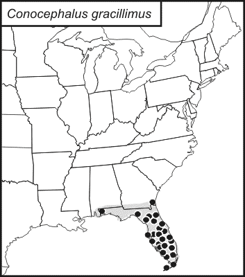
graceful meadow katydid
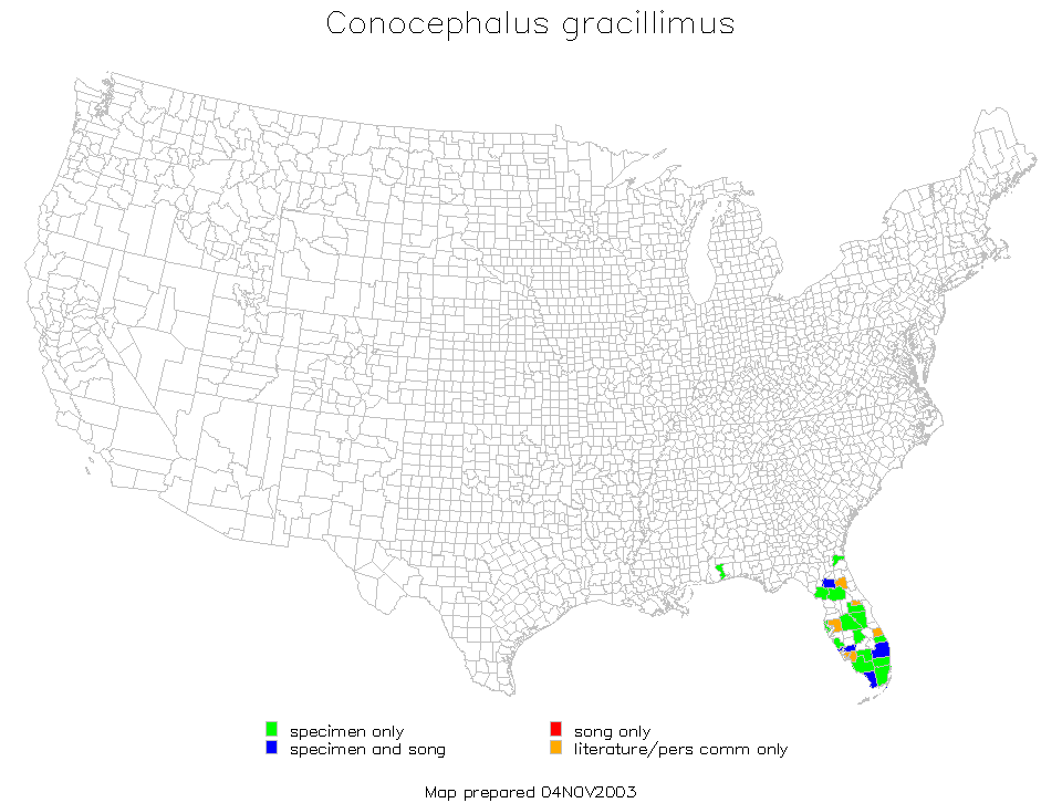
Conocephalus gracillimus
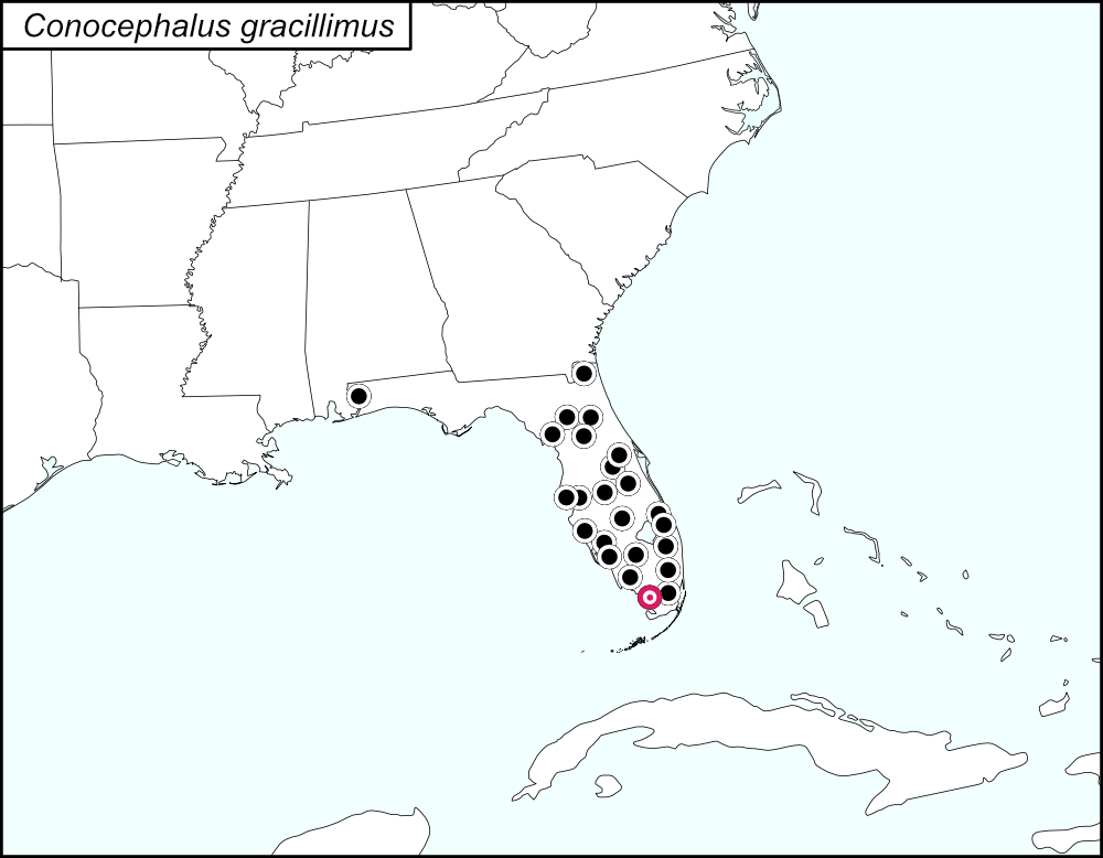

The black dots  on the distribution map represent county records. The red target dot
  represents Monroe County, which is shown in greater detail in the map below.
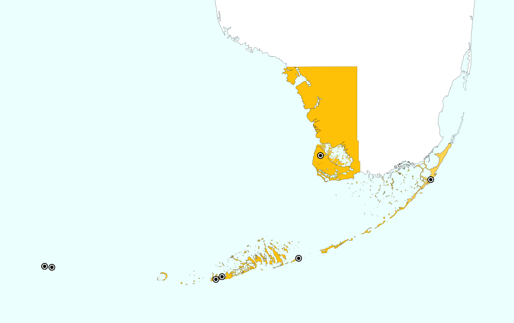
Monroe County, Florida includes the southwest portion of the tip of mainland Florida, the Upper and Lower Keys, and the Dry Tortugas. On the distribution map, a single red target dot is placed at the center of the mainland portion of Monroe county. The above map shows the boundaries for Monroe County, highlighted in GOLD, and the localities for Monroe County from tblMain. Mainland: Cape Sable; east to west along the Keys: Key Largo, Little Duck Key, Stock Island, Key West, Dry Tortugas, Loggerhead Key.
Summary of Species' SINA Distribution*
Conocephalus gracillimus is found throughout Florida.
*North America, north of Mexico.
List of United States Regions, States, and Counties
Map of
United States
Regions
Map of United States Regions
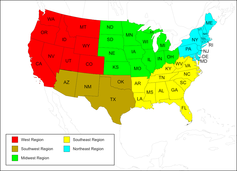
Southeast Region
State: Florida
Counties: Alachua, Broward, Charlotte, Collier, Escambia, Hendry, Highlands, Hillsborough, Lee, Levy, Marion, Martin, Miami-Dade, Monroe, Nassau, Orange, Osceola, Palm Beach, Pinellas, Polk, Putnam, Sarasota, Seminole, St. Lucie.
Notes
References:
The distribution map on this page is referred to as the 2024 distribution map.
The records for this species are from tblMain and are in agreement with the computer-generated map and mostly in agreement with the original dot map. On the original dot map, the record for Nassau County is north of the border between Florida and Georgia. [tmy 10 April 2025]