


Buckell's grig
Cyphoderris buckelli
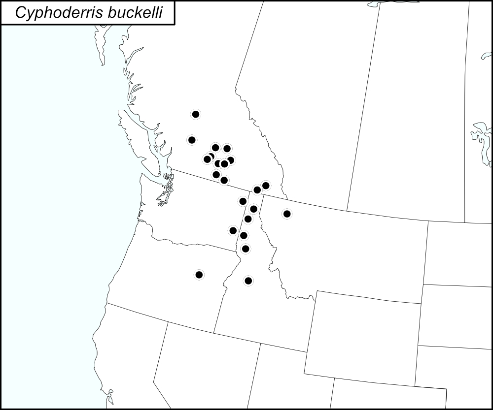

The black dots  on the distribution map represent county records (United States) and localities (Canada) from tblMain.
Summary of Species' SINA Distribution*
Cyphoderris buckelli ranges in the West Region of the United States (Montana, Idaho, Oregon, and Washington) up into British Columbia in Canada.
*North America, north of Mexico.
List of United States Regions, States, and Counties
Map of
United States
Regions
Map of United States Regions
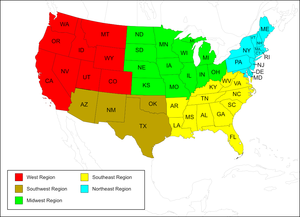
West Region
State: Idaho
Counties: Bonner, Kootenai, Latah, Lewis, Valley.
State: Montana
Counties: Flathead.
State: Oregon
Counties: Grant.
State: Washington
Counties: Pend Oreille, Whitman.
List of Canadian Provinces, Regions, and Localities
Map of
Canadian
Provinces
Map of Canadian Provinces
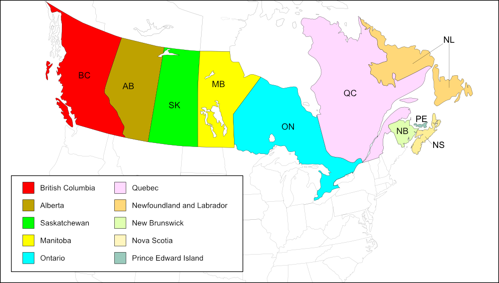
British Columbia
Regional district: Cariboo
Localities: Chilcotin District (Riske Creek Range) 32 miles west of Will.
Regional district: Central Kootenay
Localities: Yahk.
Regional district: Central Okanagan
Localities: Kelowna, Peachland.
Regional district: Columbia Shuswap
Localities: Salmon Arm.
Regional district: East Kootenay
Localities: Cranbrook.
Regional district: Kootenay Boundary
Localities: Rock Creek.
Regional district: North Okanagan
Localities: Lumby.
Regional district: Okanagan Similkameen
Localities: Okanagan Falls.
Regional district: Squamish-Lillooet
Localities: Lillooet.
Regional district: Thompson-Nicola
Localities: Aspen Grove, Kamloops, Nicola Lake.
Notes
References:
The distribution map on this page is referred to as the 2024 distribution map.
All records are from tblMain. Records were added to tblMain from 6 January 2003 to 18 December 2003. For British Columbia, an entry for one locality was given as Squizax but I was unable to find a location with this name or a similar name. Another entry for British Columbia indicated that 2 males were collected but no locality was given.
On the original dot map, one dot straddles the border between Washington and Idaho. Looking at the computer-generated map, it is clear that this dot belongs in Idaho (Latah County), next to Whitman County, Washington.
The original dot map has only 4 dots in Idaho; tblMain has 5 records for Idaho and the computer-generated map shows 5 counties. The county missing on the original dot map is Valley County; it has been added to the 2024 distribution map.
The original dot map has 9 dots in British Columbia. I am not sure how these records were added for Canada. There were 10 Regional Districts listed for British Columbia in tblMain and the dots on the original SINA map roughly correspond to 9 of those Regional Districts except for Cariboo, which is north of the other Regional Districts. It may be that each dot represented a Regional District. Because I am adding a dot for each locality within the Regional Districts, the 2024 distribution map has 13 dots; most Regional Districts had one locality, except Central Okanagan, which had 2 localities, and Thompson-Nicola, which had 3 localities. The entry for East Kootenay gives the locality as "Cranbrook + 2 more"; because the other 2 localities are unknown, a dot was only placed for Cranbrook.
The record for the locality Lillooet in the Regional District Squamish-Lillooet (British Columbia) is spelled Lillwet in tblMain. [tmy 3 December 2025]