


mangrove ground cricket
Hygronemobius alleni
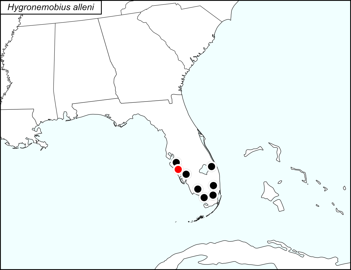

All dots on the distribution map represent county records. The black dots  are records from tblMain. The gold dot with crossbars gold dot on the distribution map represents a record that was present on the original dot map but not in tblMain or the computer-generated map (see Notes).
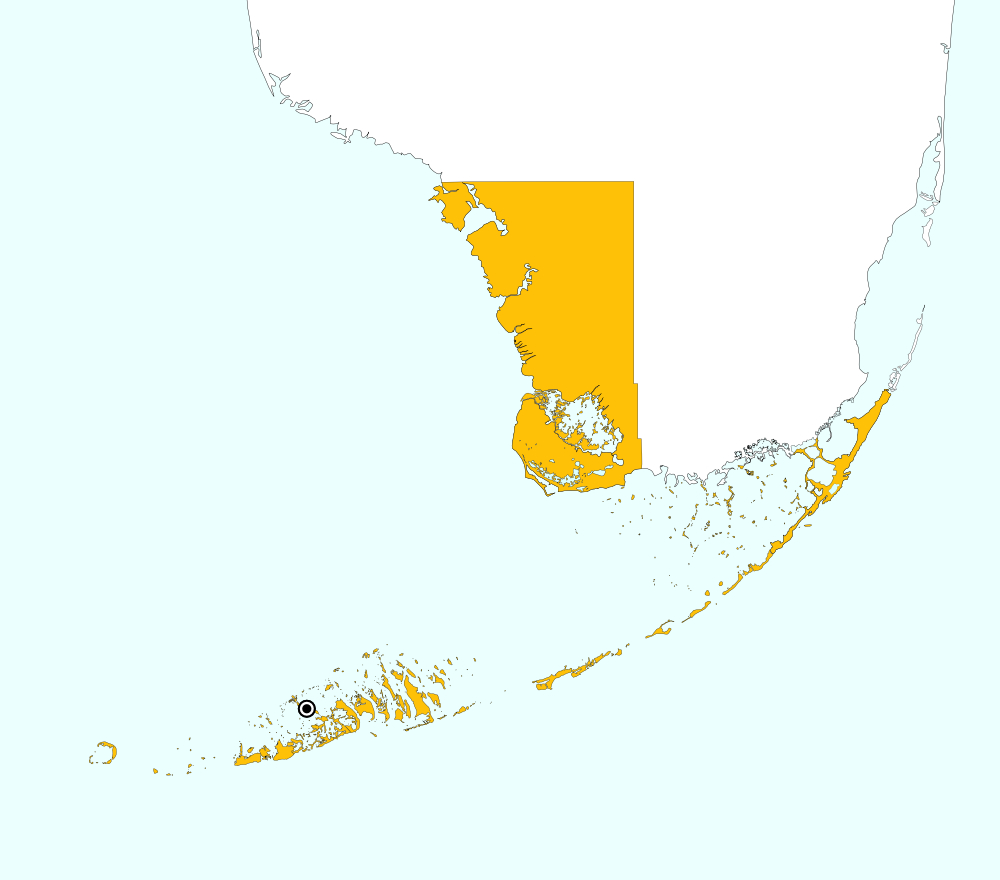
Monroe County, Florida includes the southwest portion of the tip of mainland Florida and the Upper and Lower Keys. On the distribution map, a single red and target dot  is placed at the center of the mainland portion of Monroe county. The above map shows the boundaries for Monroe County, highlighted in GOLD, and the locality for Monroe County from tblMain: Snipe Key.
Summary of Species' Distribution
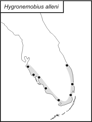
Hygronemobius alleni is found along the coasts of south Florida and in the lower keys.
List of United States Regions, States, and Counties
Map of
United States
Regions
Map of United States Regions
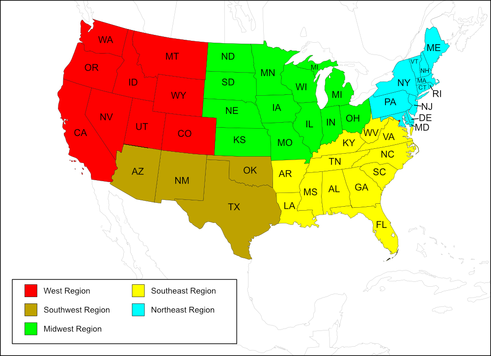
Southeast Region
State: Florida
Counties: Broward, Charlotte, Collier, Manatee, Martin, Miami-Dade, Monroe, Sarasota*.
Notes
References: tblMain Original dot map Computer-generated map
The distribution map on this page is referred to as the 2024 distribution map.
All records are from tblMain. One record in tblMain had no entry for county; however, the location given was Tahiti Beach, which is located in Miami-Dade County, Florida. There were 6 other records for Miami-Dade County.
*Sarasota County (red dot on the map) was not listed in tblMain or marked on the computer generated map. The original dot map has an extra dot between Manatee and Charlotte counties, which would be Sarasota County. [tmy 7 October 2024]