


sage tree cricket
Oecanthus salvii
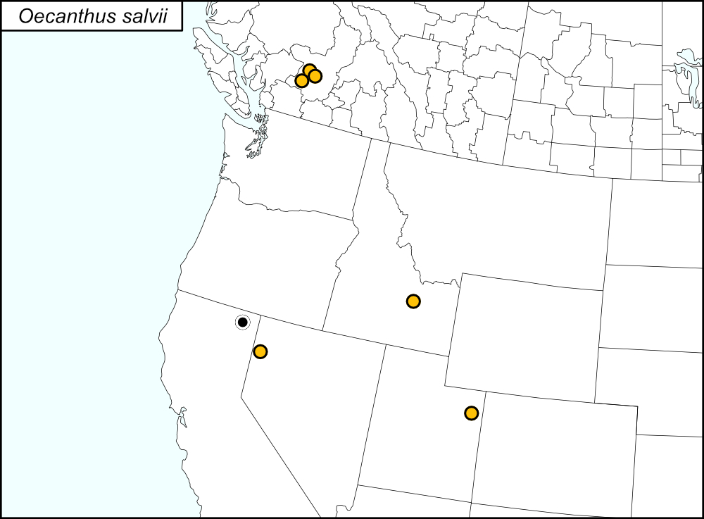

All dots on the distribution map represent county records. The black dots  are records from tblMain. Gold dots
  represent counties (United States) and localities (Canada) based on observations from iNaturalist. The records from iNaturalist have greatly expanded the known range of this species and, given the distribution of the dots, it is likely that O. salvii also occurs in Washington and Oregon.
Summary of Species' SINA Distribution*
Oecanthus salvii is found in the West Region of the United States (California, Idaho, Nevada, and Utah) and British Columbia, Canada (Thompson-Nicola).
*North America, north of Mexico.
List of United States Regions, States, and Counties
Map of
United States
Regions
Map of United States Regions
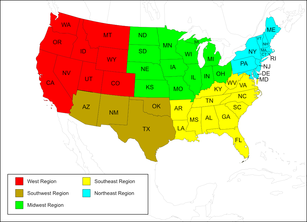
West Region
State: California
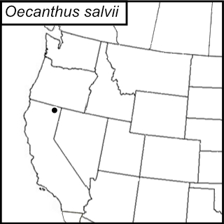
Records from Collins and Schneider (2020)
Counties: Modoc.
State: Idaho
Records from iNaturalist
Counties: Butte.
State: Nevada
Records from iNaturalist
Counties: Washoe.
State: Utah
Records from iNaturalist
Counties: Uintah.
List of Canadian Provinces, Regions, and Localities
Map of
Canadian
Provinces
Map of Canadian Provinces
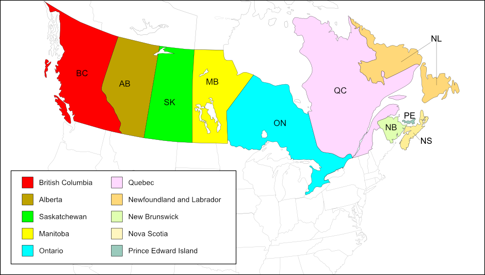
British Columbia
Regional district: Thompson-Nicola
Records from iNaturalist
Localities: Elephant Hill Provincial Park, Skihist Provincial Park, Steelhead Provincial Park.
Notes
References:
The distribution map on this page is referred to as the 2024 distribution map.
The original dot map, with the single record for Modoc County, California, was created in 2020, shortly after Collins and Schneider (2020) was published. Auther Nancy Collins alerted me in January 2025 about records on iNaturalist that expanded the range of this species, which are included on the 2024 distribution map. Records from iNaturalist are from Research Grade observations that were uploaded from 19 July 2016 to 2 September 2024. [tmy 24 March 2025]