


mountain wood cricket
Gryllus montis
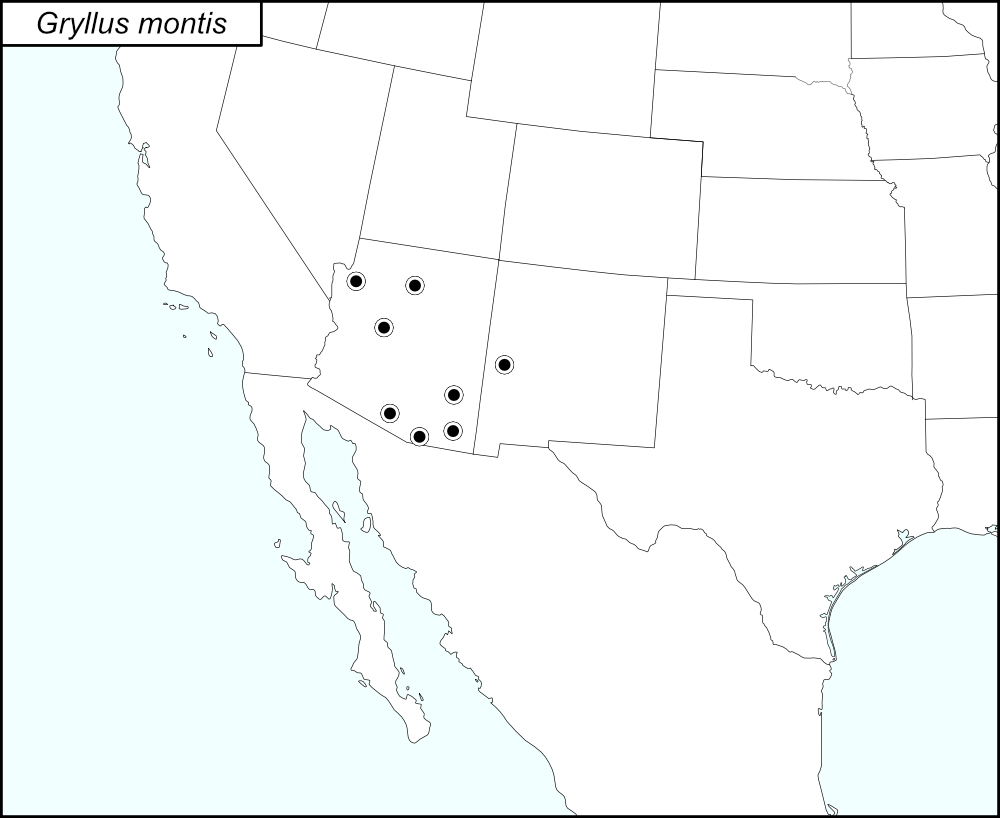

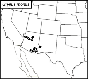
The black dots  on the distribution map represent county records.
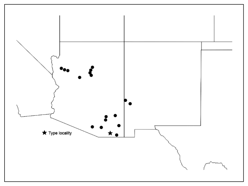
The above map is from Weissman and Gray (2019) and shows the localities for Gryllus montis as given in their publication. Those localities are listed below by state and county.
State: Arizona
Cochise County: Ramsey Canyon Reserve near Sierra Vista. Chiricahua National Monument, Visitor’s Center. Portal, Southwestern Research Station. Chiricahua Mts., Herb Martyr Dam Campground. Cave Creek Canyon, Sunny Flat Campground. Bisbee. Coronado National Forest, Reef Campsite. Huachuca Mts., Parker Canyon Lake. Ramsey Canyon Preserve.
Pima County: Kitt Peak. Picnic area at mile 10.5.
Santa Cruz County: Madera Canyon Recreation Area. Pajarito Mountains, Sycamore Canyon.
Coconino County: Sedona. Hwy 89A, 4 miles north of Sedona. Hwy 89A, 6 miles north of Sedona. Hwy 89A, 8.9 miles north of Sedona. 9 miles south of Flagstaff on Hwy 89A. 15 miles south of Flagstaff on Hwy 89A.
Graham County: Pinaleño Mountains, Hwy 366, Mt. Graham.
Mohave County: Hualapai Mountain Park. Road between Hualapai Mountain Park and Kingman: 12.7 miles southeast of Kingman; 11 miles southeast of Kingman; 8.7 miles southeast of Kingman. Mt. Lemmon Recreational Area, Mile 13; Mile 11.7; Mile 11.3. Oracle.
Yavapai County: Prescott National Forest, Hwy 89A, 25 miles northeast of Prescott. Sedona Airport.
State: New Mexico
Catron County: Reserve. Hwy 12, 2.2 miles southwest of Reserve. Hwy 180, 1 mile east of the Arizona-New Mexico border.
Summary of Species' SINA Distribution*
Gryllus montis is found throughout Arizona and in Catron County, New Mexico.
*North America, north of Mexico.
List of United States Regions, States, and Counties
Map of
United States
Regions
Map of United States Regions
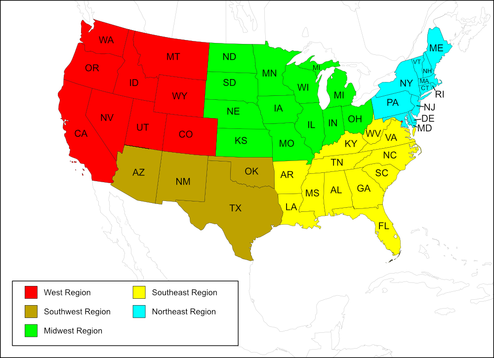
Southwest Region
State: Arizona
Counties: Cochise, Coconino, Graham, Mohave, Pima, Santa Cruz, Yavapai.
State: New Mexico
Counties: Catron.
Notes
References:
The distribution map on this page is referred to as the 2024 distribution map.
All records are from Weissman and Gray (2019). [tmy August 2025]