


Painted Desert field cricket
Gryllus navajo
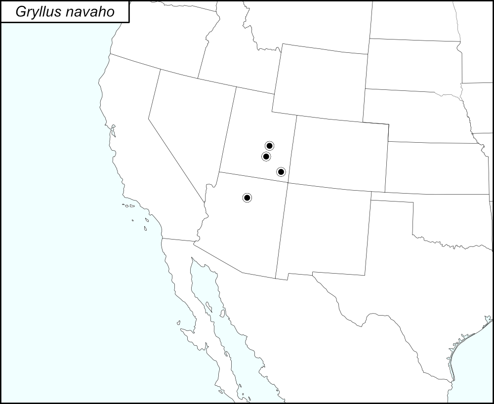

The black dots  on the distribution map represent county records.
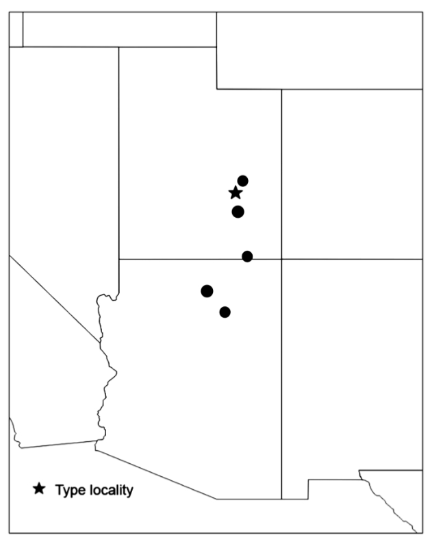
The above map is from Weissman and Gray (2019) and shows the localities for Gryllus navaho as given in their publication. Those localities are listed below by state and county.
State: Arizona
Coconino County: 49 miles east of Flagstaff on Highway 99, about 6.85 road miles northwest of I40, mile post 59.5. Moenkopi Dune area on Highway 264, 3.1 miles southeast of Tuba City.
State: Utah
Emery County: 6.5 miles west of Highway 24 and 1.3 miles west of the turnoff for Goblin Valley State Park. Goblin Valley State Park, campground. Black Dragon Canyon.
San Juan County: Oljato-Monument Valley, Douglas Mesa Road. (County Road 419) 6 miles north of the Utah-Arizona border.
Wayne County: Highway 24, 3 miles northeast of Hanksville.
Summary of Species' SINA Distribution*
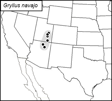
Gryllus navaho is found in southeastern Utah and northern Alabama.
*North America, north of Mexico.
List of United States Regions, States, and Counties
Map of
United States
Regions
Map of United States Regions
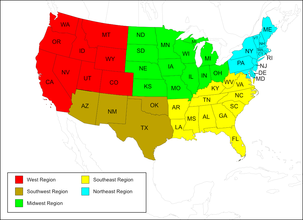
West Region
State: Utah
Counties: Emery, San Juan, Wayne.
Southwest Region
State: Arizona
Counties: Coconino.
Notes
References:
The distribution map on this page is referred to as the 2024 distribution map.
All records are from Weissman and Gray (2019). [tmy 16 August 2025]