


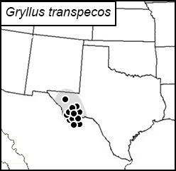
Texas Trans-Pecos field cricket
Gryllus transpecos
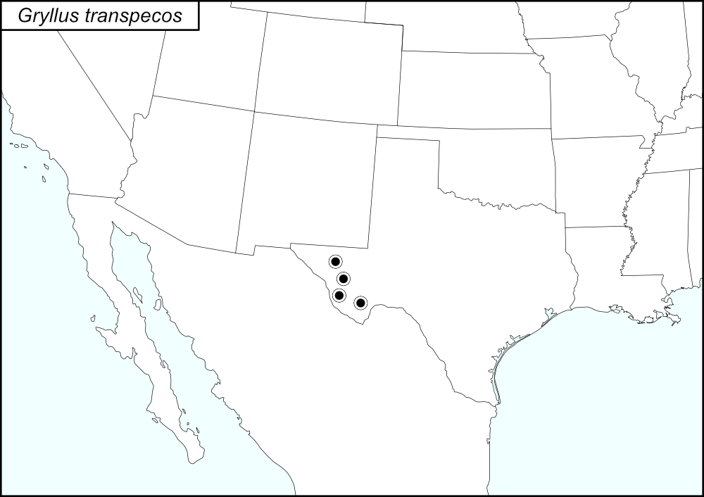

The black dots  represent county records from Weissman and Gray (2019).
The above map shows the localities for G. transpecos from Weissman and Gray (2019).
State: Texas
Brewster County: Chisos Mountains, Big Bend National Park. Panther Junction. 18.7 miles southeast of Panther Junction. Maverick Road. Rio Grande Village. Grande Village Road, 4.5 miles northwest of the ranger station. Highway 118, 24 miles south of Alpine. Highway 170, 8 miles west of Terlingua. Highway 385, 3.3 miles south of Marathon.
Culberson County: Van Horn Pass area.
Jeff Davis County: Davis Mountains, Observatory. 2.9 road miles below Observatory. 3.2 road miles below Observatory.
Presidio County: Chianti Mountains, Highway 67, Shafter. 0.5 miles north of Shafter. 2.3 miles south of Shafter. Highway 170 East Presidio. Highway 170, 39 Miles west of Terlingua. 30 miles west of Terlingua.
Summary of Species' SINA Distribution*
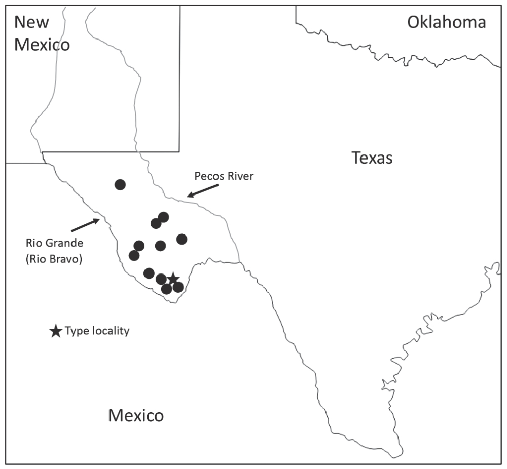
Gryllus transpecos is found in western Texas between the Rio Grande and the Pecos rivers and is only known from this location.
*North America, north of Mexico.
List of United States Regions, States, and Counties
Map of
United States
Regions
Map of United States Regions
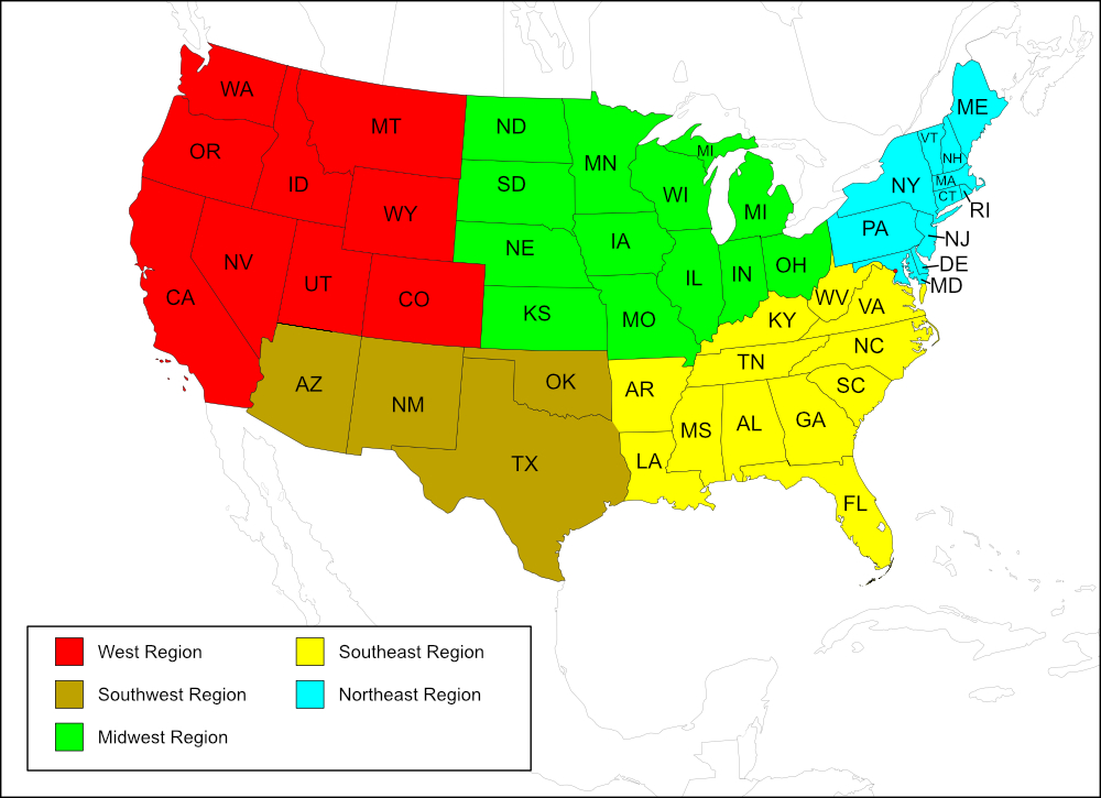
Southwest Region
State: Texas
Counties: Brewster, Culberson, Jeff Davis, Presidio.
Notes
References:
The distribution map on this page is referred to as the 2024 distribution map.
All records are from Weissman and Gray (2019). [tmy 17 May 2025]