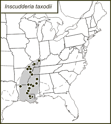
Dots show county records; shaded area shows likely general distribution.
Computer-generated distribution map, produced in 2003
from records in a database available on this site.
The dashed line shows the northern and western limits of baldcypress
(Taxodium distichum). The predicted southeastern limits of
I. taxodii are made to coincide with the southwestern limits
of I. walkeri, which has a range that
may be co-extensive with pondcypress (Taxodium ascendens.)
