


Gurney's shieldback
Aglaothorax gurneyi
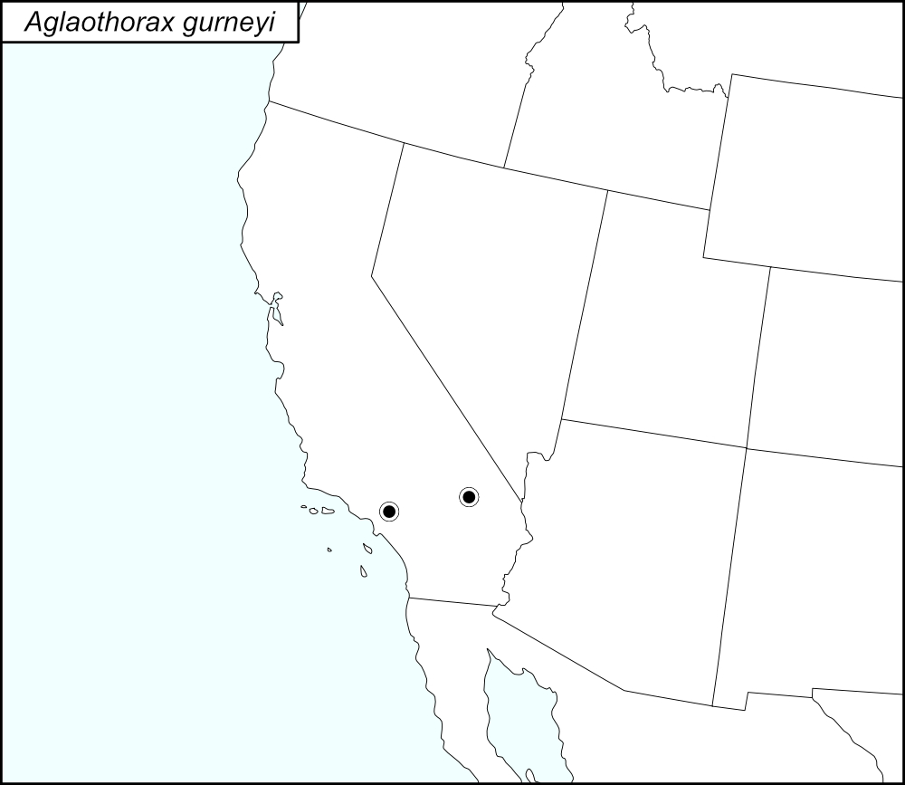

The black dots  on the distribution map represent county records; both records are in tblMain and Cole et al. (2025).

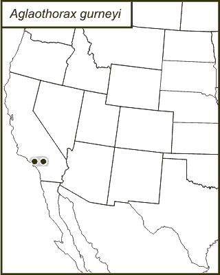
The above map shows the localities for the Ovatus Group species from Cole et al. (2025). The yellow dots (encircled in a black line*) show localities for A. gurneyi.
State: California
Los Angeles County:
Lake Arrowhead in the San Bernardino Mountains.
Barton Flats.
Lake Arrowhead.
San Bernardino Mountains, 4 miles west of Running Springs.
San Bernardino Mountains, 0.8 miles east of Lake Arrowhead City on Highway 173.
0.7 miles west of Skyforest on Highway 18.
Camp O-ongo, near Running Springs.
Hanna Flat Campground, San Bernardino National Forest.
Hanna Flat, San Bernardino National Forest.
Running Springs.
San Bernardino Mountains, 2.5 miles northwest of Running Springs on Highway 18.
San Bernardino Mountains, State Highway 18, 0.7 miles west and east of Skyforest.
San Bernardino.
San Bernardino Mountains
Blythe.
San Bernardino County:
Mescal Picnic Area, Angeles National Forest, 5 miles northwest of Wrightwood on County Road N4 (Big Pines Highway).
*Line encircling the locality dots was added to the map by the SINA editor (tmy) to help the viewer pick out the dots; this is not an indication of range or distribution.
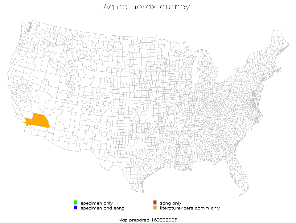
Summary of Species' SINA Distribution*
Aglaothorax gurneyi is found in the San Bernardino and San Gabriel Mountains of the Transverse Ranges of Southern California.
*North America, north of Mexico.
List of United States Regions, States, and Counties
Map of
United States
Regions
Map of United States Regions
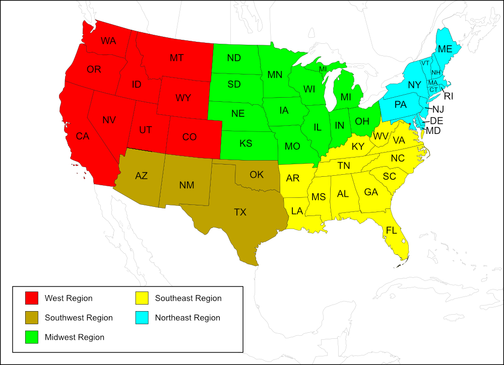
Region
State: California
Records from tblMain and Cole et al.
Counties: Los Angeles, San Bernardino.
Notes
The distribution map on this page is referred to as the 2024 distribution map.
The computer-generated map, original dot map, and tblMain records are in agreement with tblMain counties; these records are also recorded in Cole et al. (2025). [tmy 15 January 2026]