


Malibu shieldback
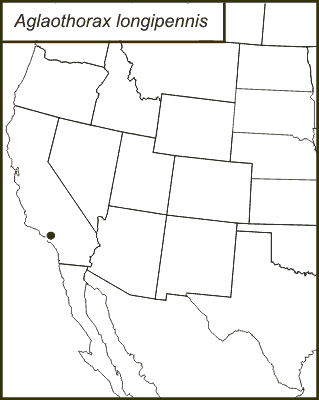
Aglaothorax longipennis
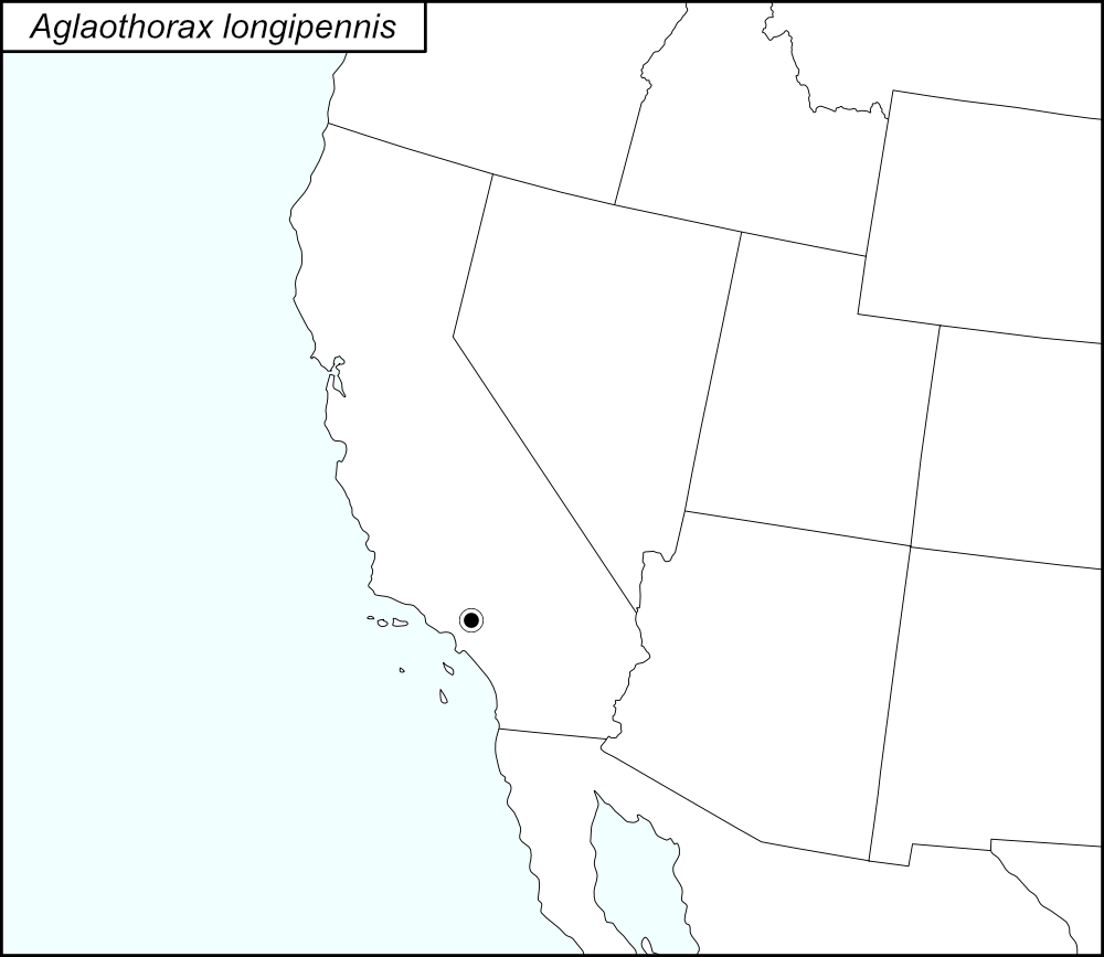

The black dot  on the distribution map represents Los Angeles County, a record that is in tblMain and Cole et al. (2025).

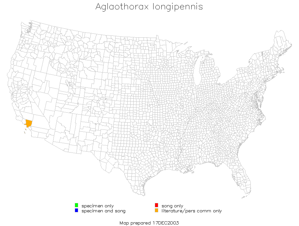
The above map shows the localities for the Morsei Group species from Cole et al. (2025). The pink dots (encircled in a black line*) show localities for A. longipennis.
State: California
Los Angeles County:
Entrance to Big Rock Canyon along Big Rock Drive, Malibu.
Malibu, Big Rock Canyon Near Piedra Chica Road.
Malibu, Big Rock Canyon Road at Rockport Road.
Malibu, intersection of Big Rock and Inland Roads.
Junction of Big Rock Drive and SR1.
Bel Air Area.
Beverly Glen.
Elysian Park, Angel’s Point.
Fryman Canyon, 5 miles west of US101 on Mulholland Drive.
Griffith Park, Fern Dell, end of Vermont Avenue.
Griffith Park, Mount Hollywood Trail.
Junction of Las Flores Canyon Road and Schueren Road.
Junction Las Flores Road and Gorge Road.
Sullivan Canyon.
Temescal Canyon Fire Road, Pacific Palisades.
Topanga State Park, Dead Horse Trail.
UCLA Stunt Ranch, Santa Monica Mountains Reserve.
Topanga State Park.
*Line encircling the locality dots was added to the map by the SINA editor (tmy) to help the viewer pick out the dots; this is not an indication of range or distribution.
Summary of Species' SINA Distribution*
Aglaothorax longipennis is found in the Santa Monica Mountains of Southern California east of Malibu Creek.
*North America, north of Mexico.
List of United States Regions, States, and Counties
Map of
United States
Regions
Map of United States Regions
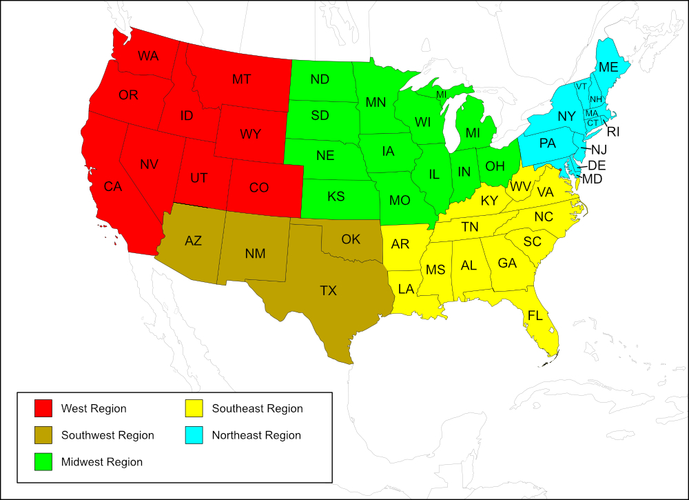
Region
State: California
Records from tblMain and Cole et al.
Counties: Los Angeles.
Notes
The distribution map on this page is referred to as the 2024 distribution map.
Los Angles is the only county on the computer-generated map, the original dot map, and in tblMain. Los Angelese County is also the only county recorded in Cole et al. (2025). [tmy 15 January 2026]