


Morses shieldback
Aglaothorax morsei
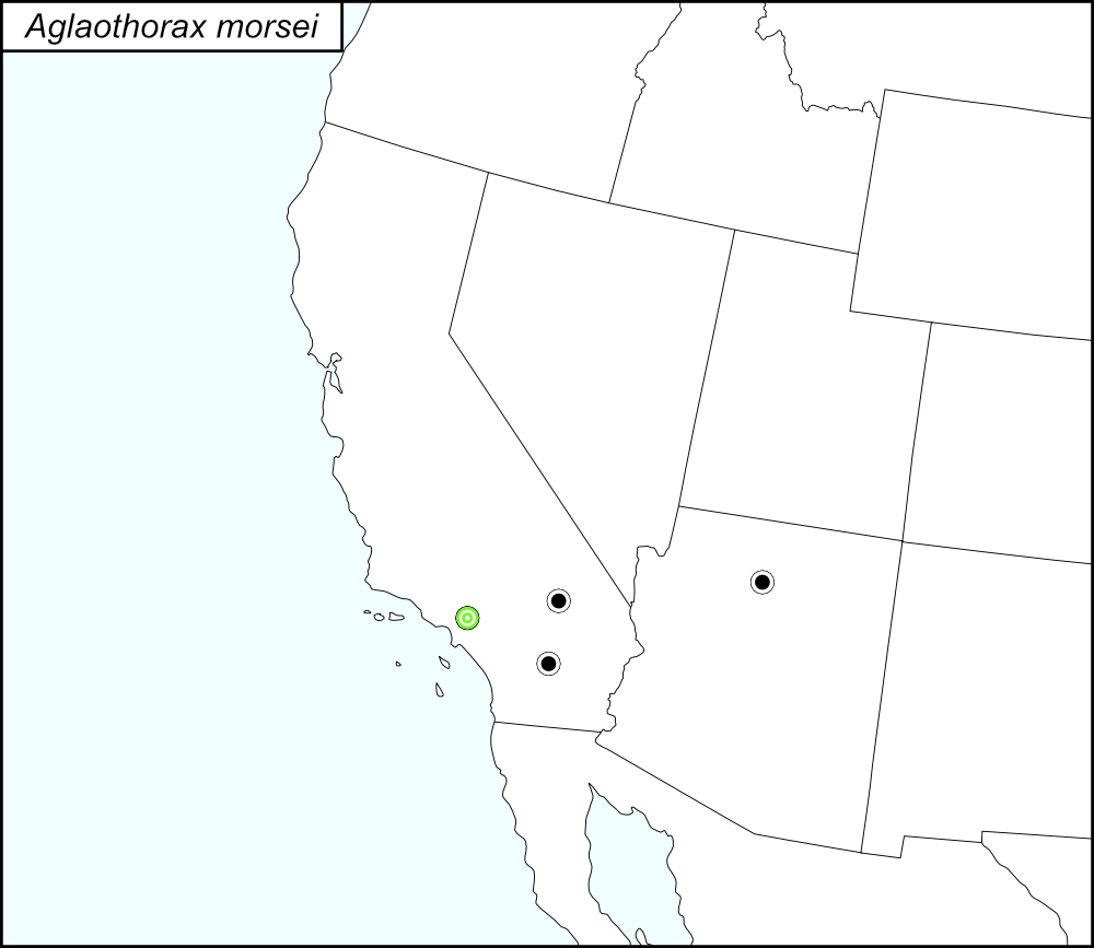

The black dots  on the distribution map represent county records from tblMain. The green target dot
  represents Los Angeles County, a record that is in tblMain and Cole et al. (2025).

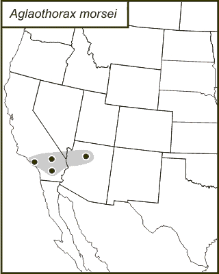
The above map shows the localities for the Morsei Group species from Cole et al. (2025). The gray dots (encircled in a black line*) show localities for A. morsei.
State: California
Los Angeles County:
Mount Wilson.
Eaton Canyon Park.
Eaton Canyon Wash, Pasadena.
Henninger Flats Road.
Fish Canyon Trailhead, Duarte.
Altadena.
Arroyo Seco along Gabrielino Recreation Trail, Angeles National Forest, at the end of Windsor Boulevard, Altadena.
Big Dalton Canyon, San Dimas Experimental Forest, 1-2 miles North of Glendora on Big Dalton Road.
Chaney Trail Drive, Altadena, near the junction of Loma Alta Drive.
Millard Canyon Campground, Angeles National Forest, at the end of Chaney Trail Road.
Pasadena, above Arroyo Seco near Devil’s Gate Dam.
Tanbark Flat.
Eaton Saddle Trailhead, Angeles National Forest.
Highland Park.
San Rafael Hills.
*Line encircling the locality dots was added to the map by the SINA editor (tmy) to help the viewer pick out the dots; this is not an indication of range or distribution.
Summary of Species' SINA Distribution*
Aglaothorax morsei is found on the south slope of the San Gabriel Mountains of Southern California.
*North America, north of Mexico.
List of United States Regions, States, and Counties
Map of
United States
Regions
Map of United States Regions
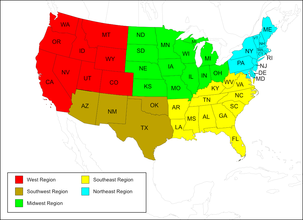
Region
State: Arizona
Records from tblMain
Counties: Coconino.
State: California
Records from tblMain
Counties: Riverside, San Bernardino.
Records from tblMain and Cole et al.
Counties: Los Angeles.
Notes
The distribution map on this page is referred to as the 2024 distribution map.
The computer-generated map, original dot map, and tblMain records are in agreement. One county (Los Angeles, also on tblMain) is recorded in Cole et al. (2025). [tmy 15 January 2026]