


Keys wood cricket
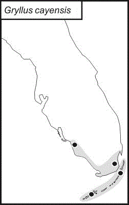
Gryllus cayensis
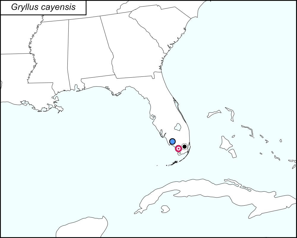

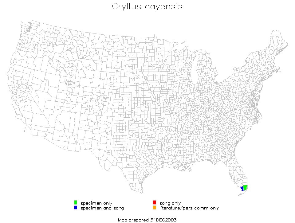
All dots on the distribution map represent county records. The black dot  is a record from tblMain (Miami-Dade County). The brown dot with white center
  represents Collier County based on a record from the Florida State Collection of Arthropods that is on the original dot map (see Notes). The red target dot
  is placed on Monroe County, which is shown in greater detail in the map below.
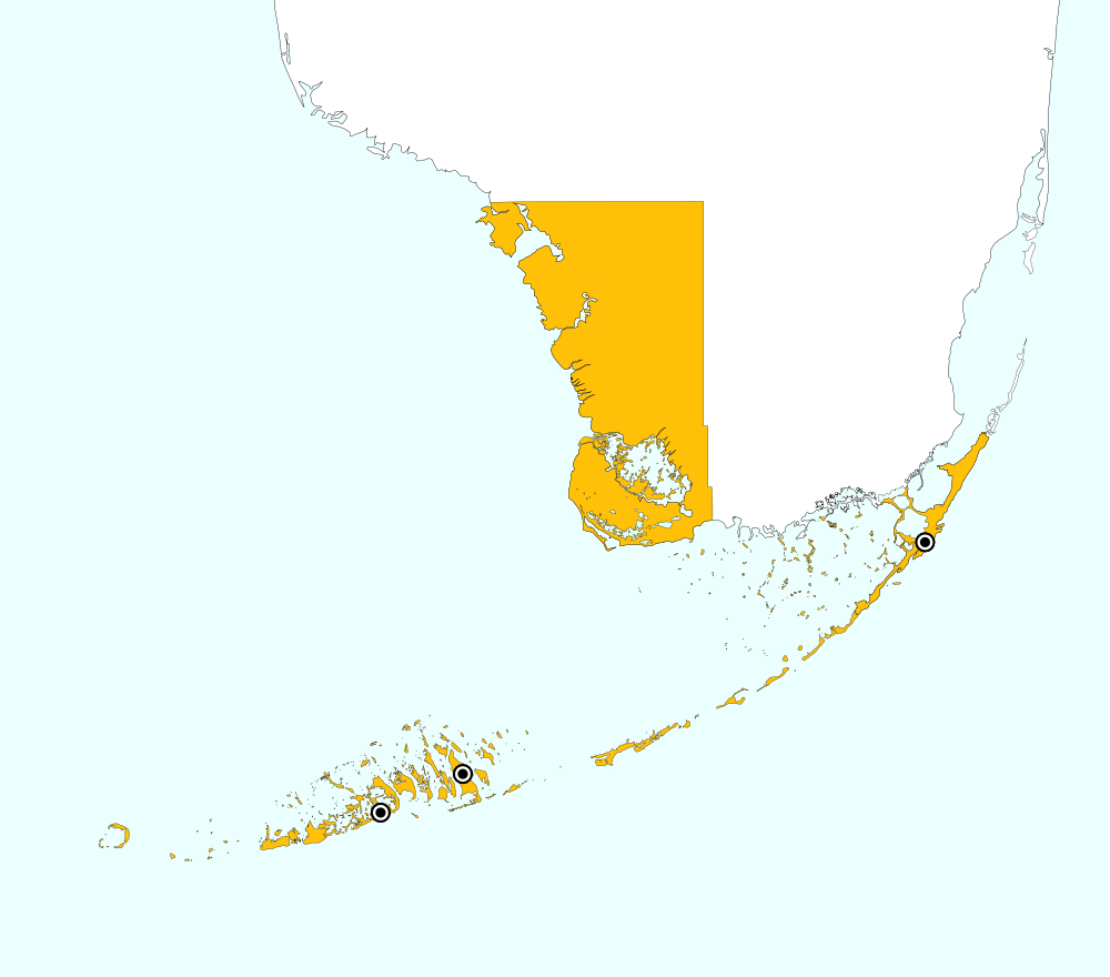

Monroe County, Florida includes the southwest portion of the tip of mainland Florida and the Upper and Lower Keys. On the distribution map, a single red target dot is placed at the center of the mainland portion of Monroe county. The above map shows the boundaries for Monroe County, highlighted in GOLD, and the localities for Monroe County from tblMain: Big Pine Key, Key Largo, and Sugarloaf Key.
Summary of Species' SINA Distribution*
Gryllus cayensis is found in the southern tip of Florida and the Florida Keys.
*North America, north of Mexico.
List of United States Regions, States, and Counties
Map of
United States
Regions
Map of United States Regions
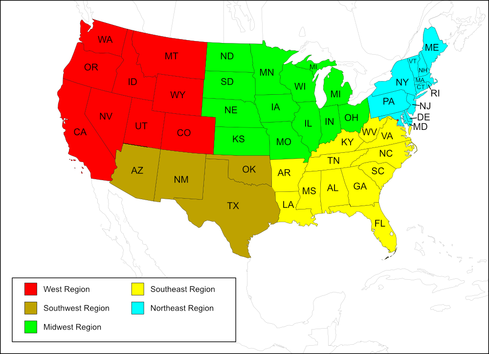
Southeast Region
State:
Records from Lisa Rainsong, identified by song
Counties: Collier, Miami-Dade, Monroe.
Notes
References:
Miami-Dade and Monroe were the only counties listed in tblMain. Collier County is indicated by a dot on the original dot map along with a paragraph that explains the origination of the record, written by Tom Walker: "The north-most record on the map is near Bonita Springs but south of it, in Collier County. The specimen is a female in the Florida State Collection of Arthropods. Its label indicates it was collected 2 miles S [of] 865 on 865A on 16 Sep 1969 by David L. Mays. [The numbers are road numbers but the system for naming county and state roads in this part of Florida has been changed at least twice since 1969.]" [tmy 25 April 2025]